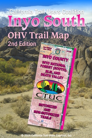


CTUC Inyo South app for iPhone and iPad
Developer: Friends of Jawbone
First release : 30 Nov 2015
App size: 217.49 Mb
The CTUC Inyo South OHV Map App brings the popular 3rd print edition CTUC Inyo National Forest South, BLM & Death Valley Map to your iPhone, iPad or iPod Touch.
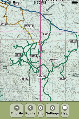
View the map in several zoom levels and navigate to popular destinations throughout the area. The map covers 1.5 million acres of world-class OHV recreation lands from the world famous Alabama Hills to stunning Death Valley National Park. Depicted on the map are hundreds of miles of legal, designated OHV roads and trails, as well as OHV Open Areas, wilderness areas, State Parks, National Park, military bases, and other public and private lands.
The map features OHV routes managed by the Bureau of Land Managements Barstow Field Office, Inyo National Forest, Lone Pine, Inyo and Mono Counties.
Featured within the app are:
√ OpenStreetMap background layer can be turned on or off
√ Zoom and scroll across the map
√ Find your location (iPhones and cellular iPads only)
√ Track your movement across the map (iPhones and cellular iPads only)
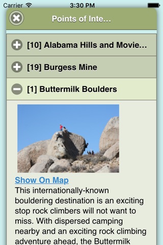
√ Find and navigate to 38 back country destinations and points of interests
√ Obtain emergency and other contacts
√ Find local services such as fuel, lodging and food
√ Learn area OHV rules, regulations, and safety tips
√ Legend of symbols on the map